


Anza-Borrego State Park Trails app for iPhone and iPad
Developer: William Modesitt
First release : 06 Feb 2017
App size: 576.1 Mb
Anza-Borrego Desert State Park is the largest state park in California. Five hundred miles of dirt roads, 12 wilderness areas and many miles of hiking and biking trails provide visitors with an unparalleled opportunity to experience the wonders of the California Desert.
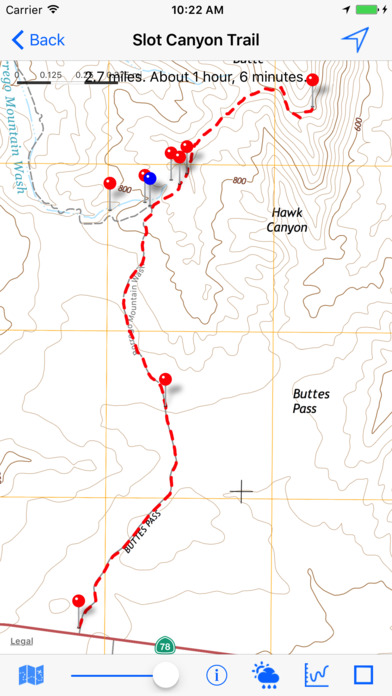
The Anza Borrego State Park Trails app contains over 300 trails within or near the park. The app also contains TOPO maps of the area, so you never have to worry about viewing the map or trail when there is no Internet connection.
Filter the trails to display only trails less than or greater than a specific length.
For each trail, you can
- Obtain weather info for the trail location.
- View an elevation chart for the trail.
- Access the web site specific to the trail.
- View a Google map of a selected waypoint.
- View Flickr photos near the trail (if they exist).
Trail data is obtained from either borregohiking.com, gypsies.com, hikingsdcounty.com and modernhiker.com.
For more info and screenshots, go to modesittsoftware.com/trails